Land Surveying
-

Direct Method of Linear Measurement In Surveying
Direct Method of Linear Measurement In Surveying Surveyors can conduct linear measurements using three primary methods: direct method, electromagnetic methods,…
Read More » -

How To Measurement of Horizontal Distance Using Auto Level
How To Measurement of Horizontal Distance Using Auto Level The auto level is a surveying and construction tool utilized to…
Read More » -

Method Of Statement for Survey Works
Method Of Statement for Survey Works (1) – Purpose This statement outlines the procedure for conducting thorough site surveys of…
Read More » -

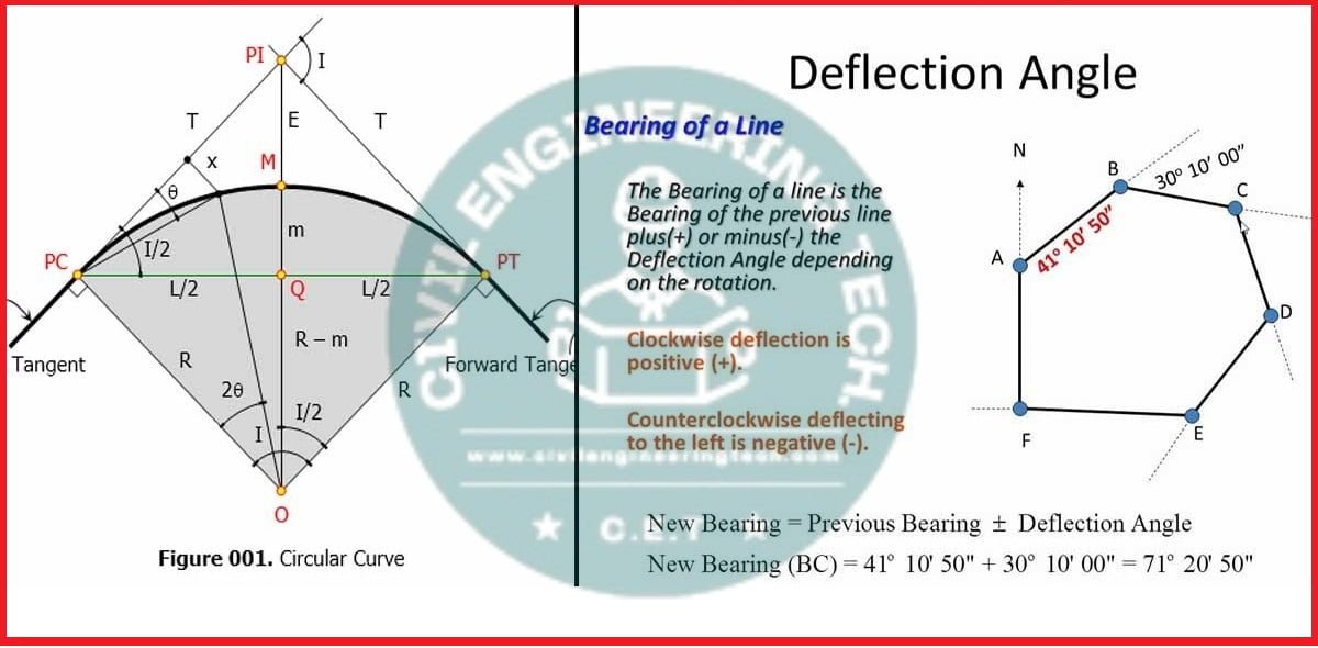
What is Deflection Angle in Surveying
Deflection angle in Surveying Definition A deflection angle is an angle which is the survey line makes with the prolongation…
Read More » -

Basics Of Land Surveying
Basics Of Land Surveying Land Surveying is the crucial procedure used to identify and map the terrain’s position. It plays…
Read More » -

Derivation of formula to set out the curves by the method of ordinates from a long chord
Derivation of formula to set out the curves by the Method of ordinates from a long chord. When two roads…
Read More » -

What is contour interval and Uses of contour maps in surveying
What is Contour Interval and Uses of Contour Maps in Surveying Let’s explore a few frequently asked questions regarding the…
Read More » -

how to Calculate the height of an object using With theodolite
Calculate the height of an object using With Theodolite Let us proceed with the calculation of building’s height by utilizing…
Read More » -

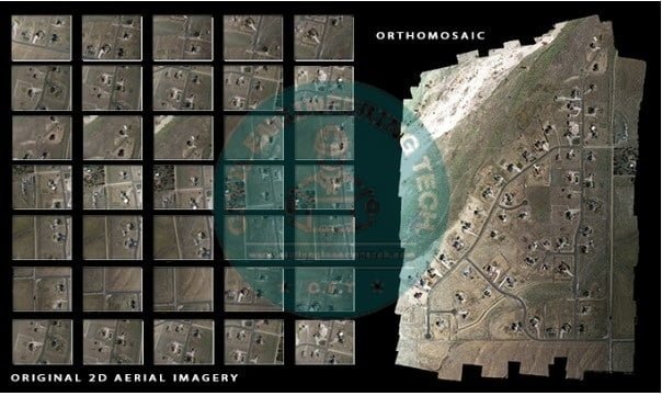
Types of Maps in the Drone Mapping
Types of Maps in the Drone Mapping The Drone mapping or aerial surveying in construction yields maps as the final…
Read More » -

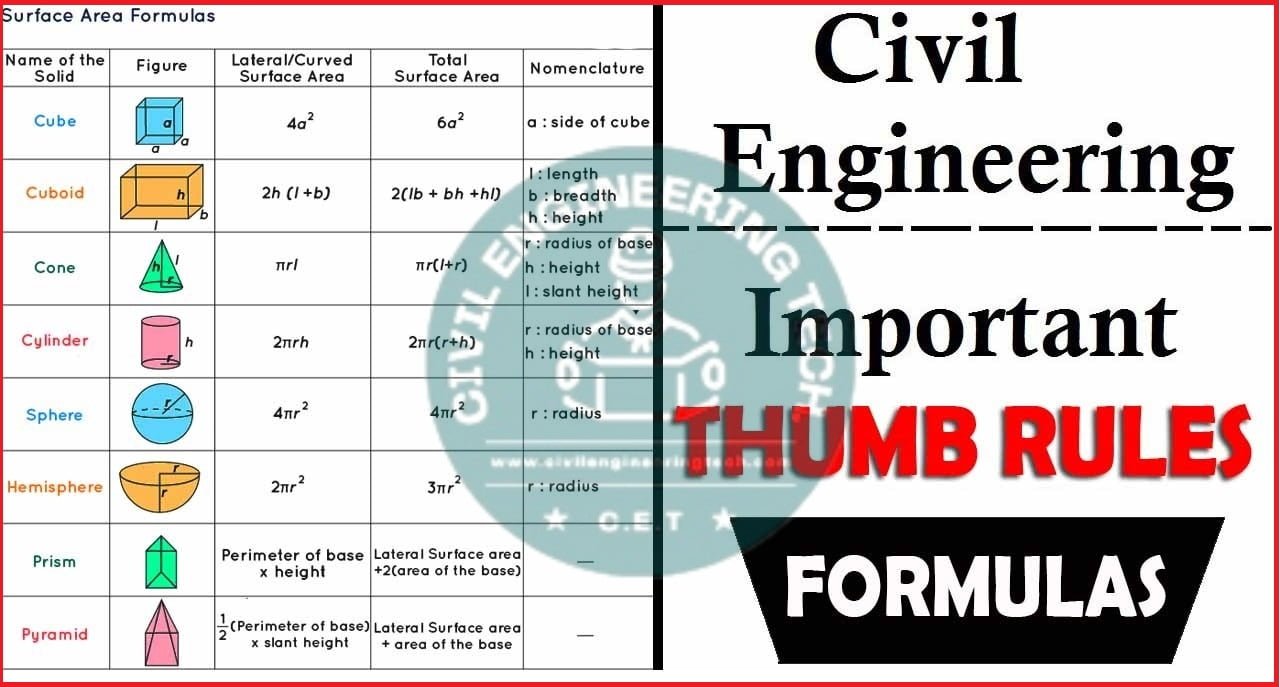
Thumb rule for Civil Engineers
Thumb rule for Civil Engineers It is imperative for any Civil Engineer, site engineer, or civil Supervisor to have a…
Read More »


